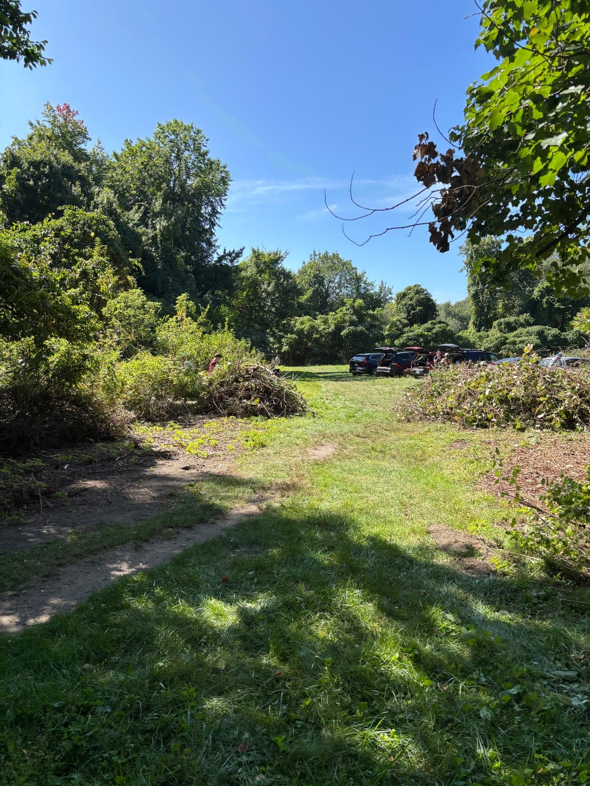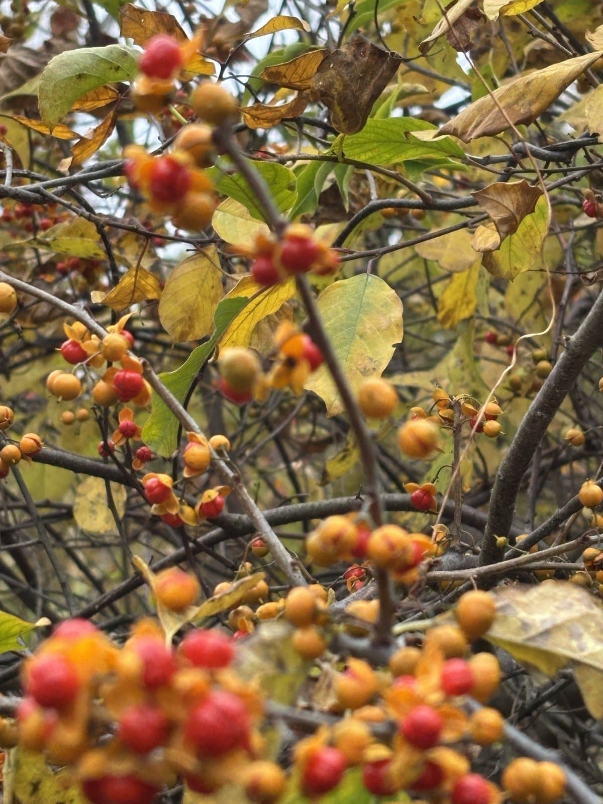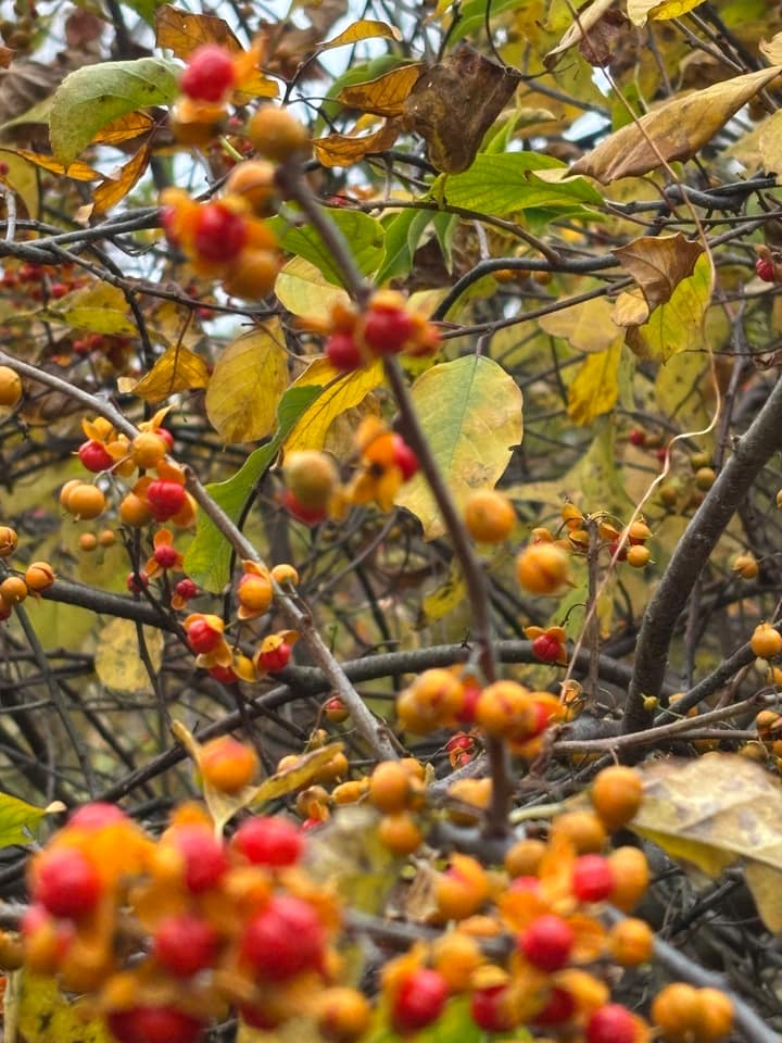
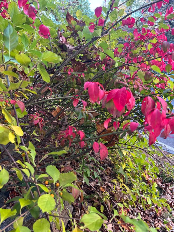
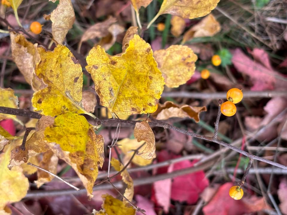
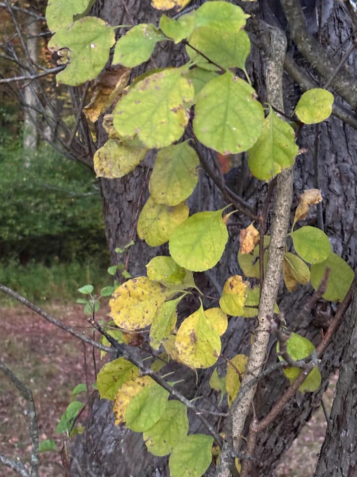
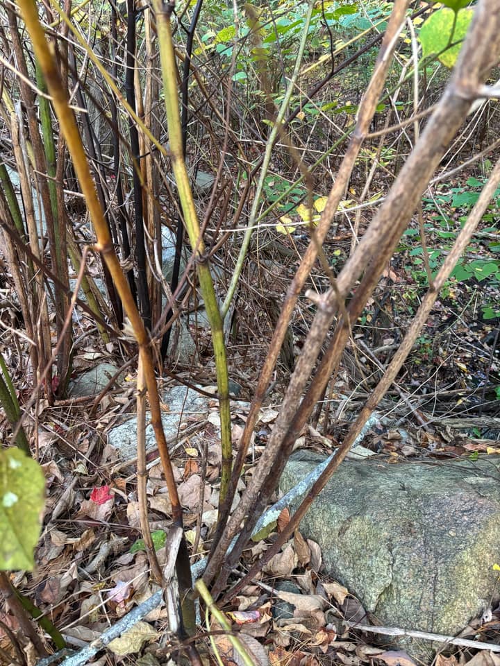
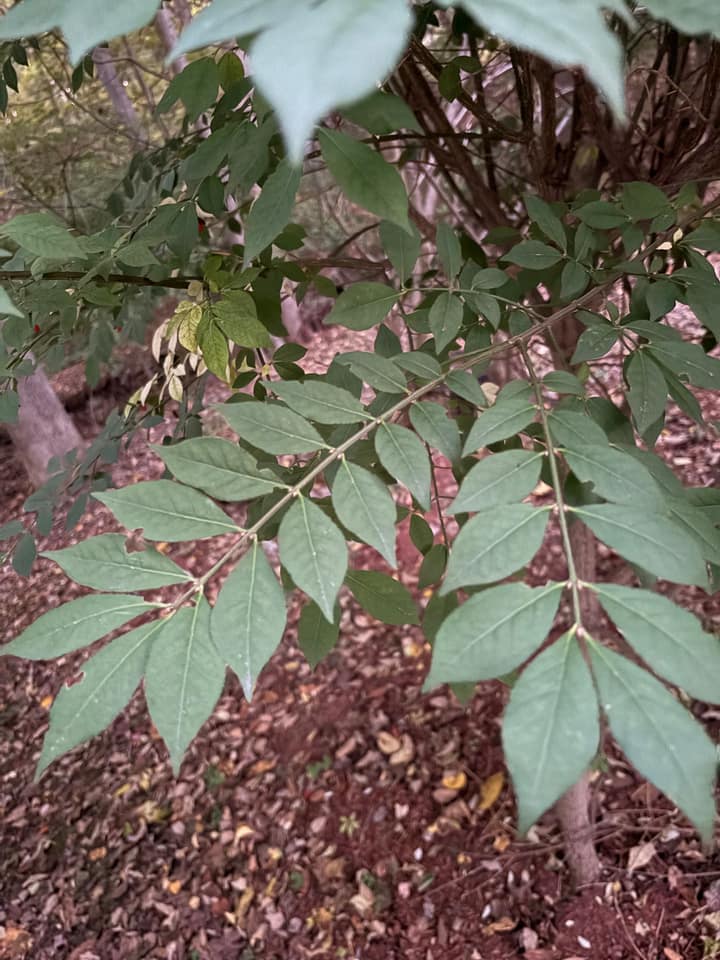
• Oriental bittersweet at Wright Farm

    Oriental bittersweet

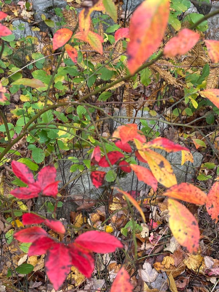
  • Burning bush at Turning Mill Pond

    Burning bush

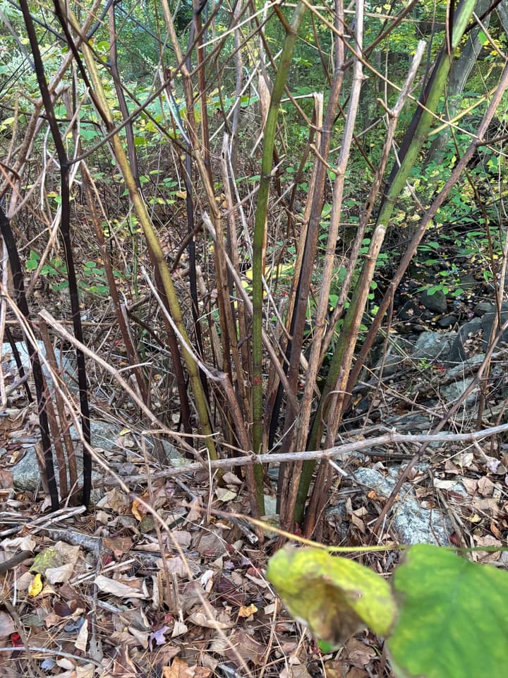
  • Knotweed at Turning Mill Pond

    Knotweed

  • Oriental bittersweet at Wright Farm

    Oriental bittersweet

  • Burning bush at Wright Farm

    Burning bush

  • Oriental bittersweet at Wright Farm

    Oriental bittersweet

  • Knotweed at Turning Mill Pond

    Knotweed

  • Burning bush at Turning Mill Pond

    Burning bush

Turning Mill Pond & Wright Farm

Photos taken by Rajarshi Mandal

Invasions are epidemics.

Understory helps Lexington’s volunteer stewards decide where their hours go. It identifies invasive plants from a photo and says when it isn’t sure, simulates how each patch will spread, and plans the workday that prevents the most of it.

Spotted lanternflies in Massachusetts

The spotted lanternfly (Lycorma delicatula), a planthopper from East Asia, feeds on more than 70 kinds of plants and lays its eggs on almost anything. It reached Massachusetts in 2020. Scroll to watch it spread, town by town.

Towns with lanternflies

0/351

Sightings in 2020

0

Loading map

  1. 2020 – 2023

    Hitchhikers

    The state lists a town once its inspectors confirm spotted lanternflies there. The first finds were single insects, carried in as egg masses on cars, stone and freight. Then Fitchburg became the first town where they were breeding. By the end of 2023, 27 towns were listed, yet only 12 sightings were posted to iNaturalist that year.
  2. 2024 – 2026

    Half the state

    Then the curve bent: 33 new towns in 2024 and 65 in 2025, Lexington among them. Today 180 of Massachusetts’ 351 cities and towns are listed. This is an epidemic curve, drawn on a map.

  3. 5th Congressional District

    Close to home

    22 of the district’s 23 cities and towns are infested, with Bedford, Lexington’s neighbor, the only one not yet listed.

  4. Bedford is next

    Bedford has a 69% chance that the state lists it as infested in 2027, third highest on Understory’s forecast. Statewide, the model expects about 32 new towns. Fit only to the listings through 2025, it ranked the 55 towns first listed in 2026 with an AUC of 0.90. Lanternflies’ favorite host is tree of heaven, one of the invasive plants Lexington’s stewards clear.

The people who look after the woods

Lexington’s conservation land is cared for by volunteers. They know every trail, every wet spot, every vine that came back. What they don’t have is time.

Every workday is a triage decision. Which patch first? Pull the wrong vine and you kill a native; skip the right one and it seeds next year’s problem. Understory turns that judgment call into a plan you can trust.

volunteer stewards
0+
volunteer stewards
conservation areas
0
conservation areas
acres of protected woods, meadows, and wetlands
0
acres of protected woods, meadows, and wetlands
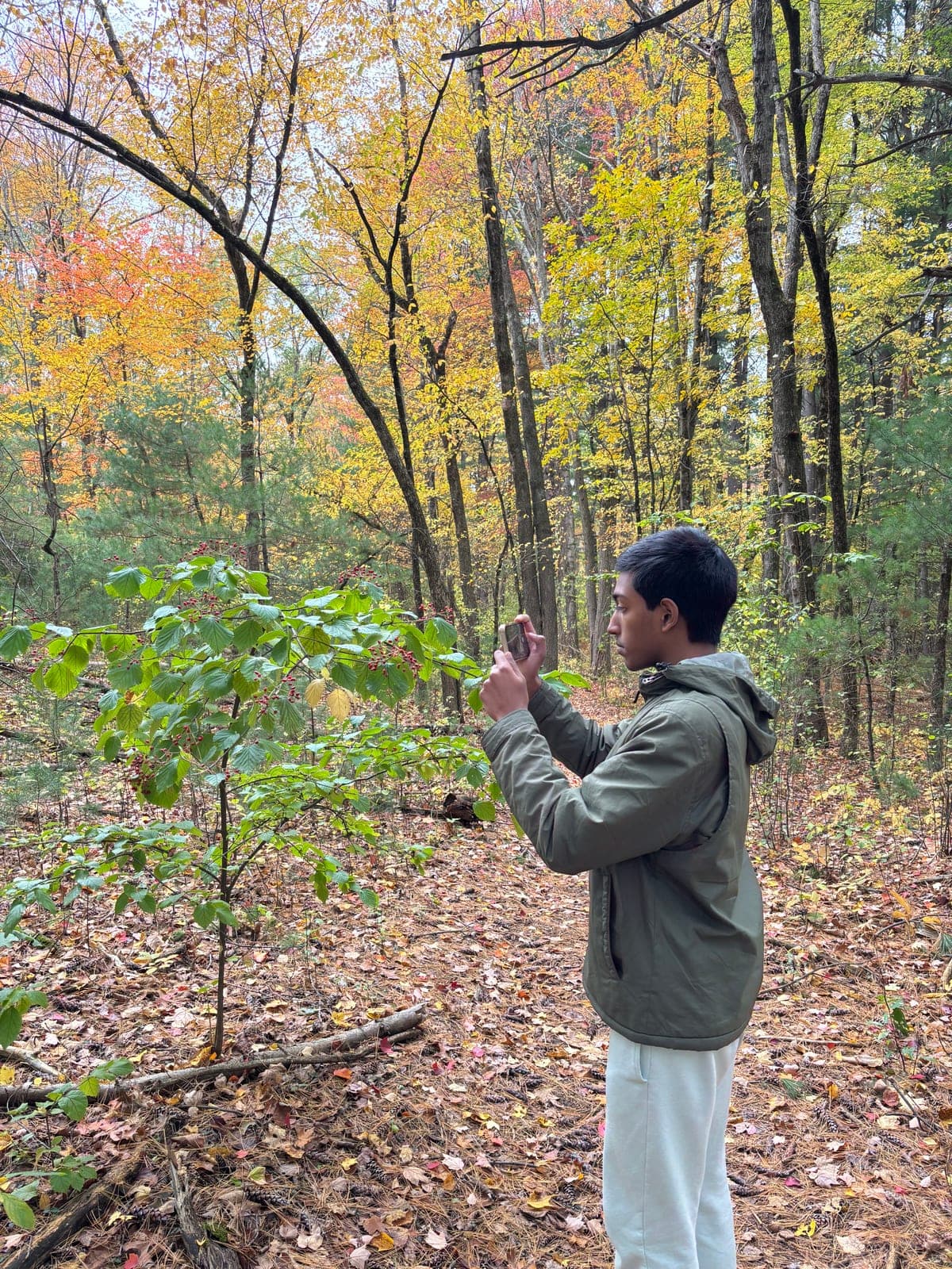
Rajarshi Mandal photographing a shrub on a fall survey at Wright FarmWright Farm
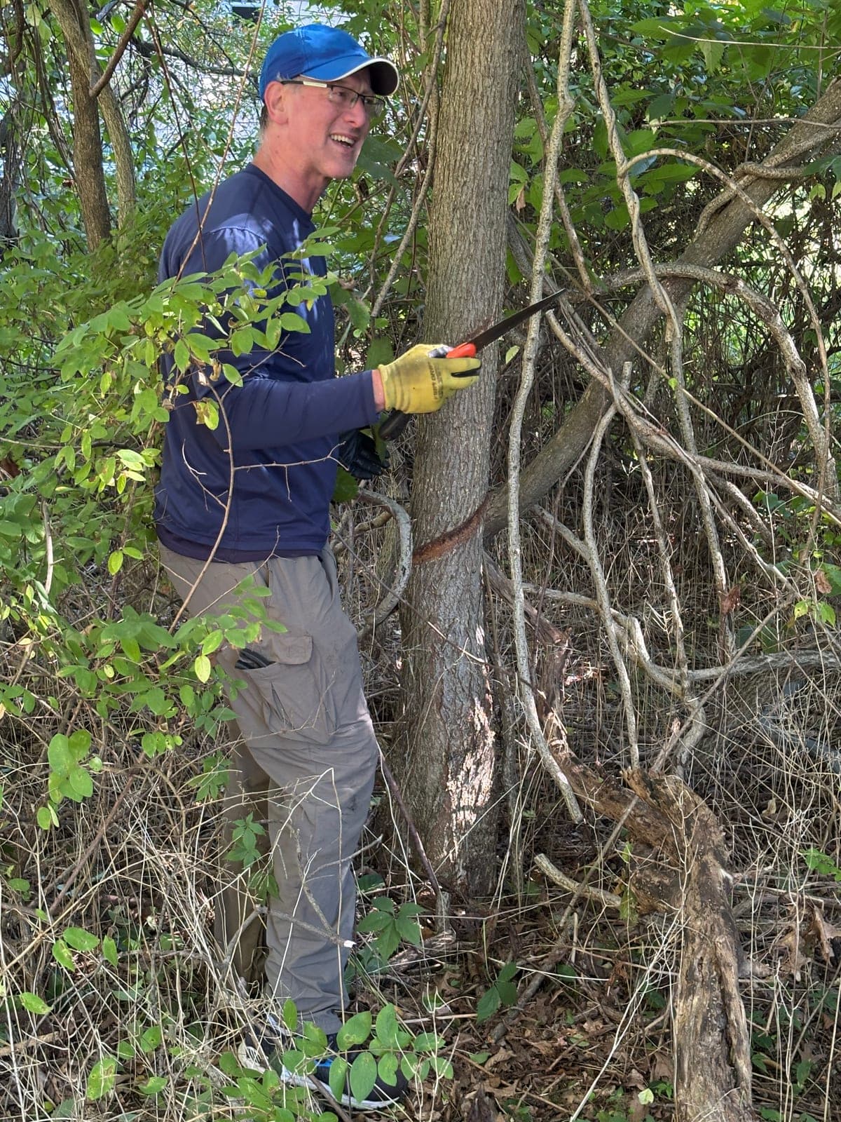
A volunteer sawing a vine away from a tree trunk at Hayden WoodsHayden Woods
Two brush piles of cut vines and branches in the meadow at Hayden Woods, with volunteers' cars beyondBrush piles
Stewardship Saturday Workday at Hayden Woods with over 20 volunteers

How it works

Public health fights outbreaks with surveillance, forecasting, and intervention. Understory does the same for the woods. Before every workday it answers three questions, so a Saturday morning of volunteer work lands where it prevents the most harm.

  1. Oriental bittersweet's orange husks and red berries along the vine at Wright Farm

    Oriental bittersweet

    Pull

    What is this plant?

    A field classifier that knows when it doesn’t know. It answers with a decision, not a guess: Pull only when conformal risk control keeps the rate of mistakenly pulled natives below α. When that guarantee can’t be met, it asks for the most informative next look, like where the fruit grows on a bittersweet vine.

  2. 203120292027

    Where will it spread?

    Stage-structured spread simulations on a 2-meter habitat grid, run as Monte Carlo ensembles, show where every patch will be in one, three and five years. Statewide, a Bayesian model forecasts which towns lanternflies reach next.

  3. GROUP 1GROUP 2TRAILHEAD6 VOLUNTEERS

    Where should the crew work?

    Understory picks the patches whose removal prevents the most future spread within the volunteer hours you have, splits the crew into small groups, and routes each group along the trails to work that matches its skills.

Try it on Turning Mill Pond.

The map shows Lexington’s conservation land in 3D: where the invasives are, where they’re heading, and the workday that prevents the most spread. Pick a crew and a morning, and see the plan.